Puerto Rico

Us Virgin islands

Florida USA
MFORCE Surveying has a team of Surveyors, 3D Technology Specialists, and high quality detailed map
makers.
In addition to Land Surveying and Geomatic Services, our specialty areas include.
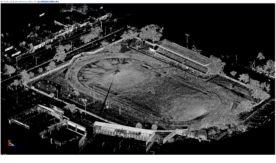
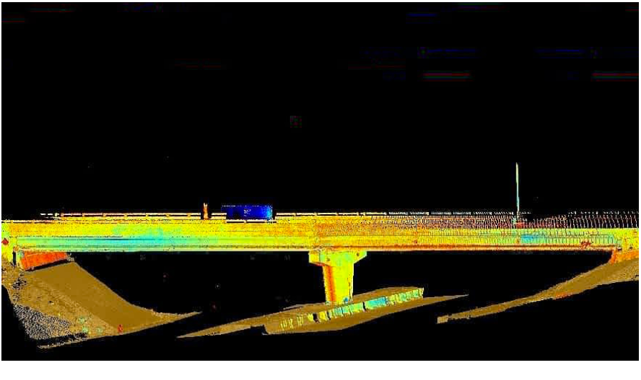
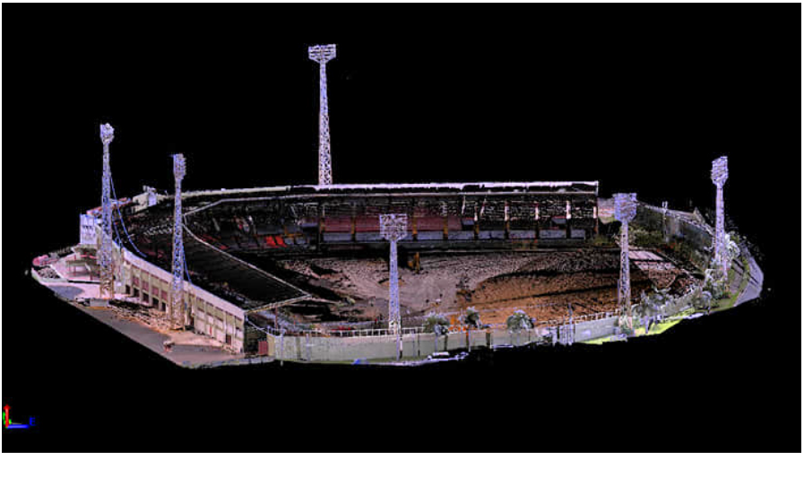
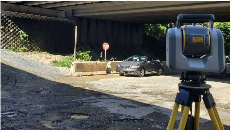
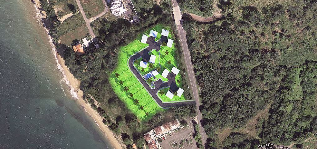
Laser scanning creates an organized, highly accurate, digital representation of a subject quickly and efficiently. This new and emerging technology allows for the 3D digital acquisition of objects in the form of geo-referenced and geometrically correct point clouds. These clouds can then be reconstructed to give them a surface, and rendered with colors or images added to give a realistic texture to the 3D model. The accuracy of the laser together with the precision of high resolution images makes laser scanning surveys realistic and complete. The uses of Laser scanning technology are endless. Real world environments, people, equipment and items are captured in 3D exactly as they are. 3D laser scanning technology can provide a detailed spatial representation of particularly complex objects, in unreachable and inaccessible survey locations. Particularly useful in the survey of cultural artefacts and historical sites and buildings, and in situations which would be otherwise difficult to research.
To automatically obtain plane sections and generate plans and section views as well as axonometric projections and 3D models;
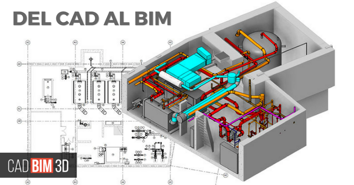
The future of CAD is intelligent drawings. BIM (Building Information Modeling) offers engineers
and architects CAD drawings with intelligence, which is easily determined during the design
phase. Existing structures with little or no design and/or as built information offer a
difficult situation. Existing conditions must be gathered. Scanning offers the BIM modeler the
CAD portion of the BIM model and a step in the right direction with the high definition color
imagery. The combination of the modeled point cloud, imagery and site visit allows construction
professionals, engineers and architects to create BIM’s of existing conditions. BIM’s are no
longer just for the design phase. With 3D laser scanning any existing building or structure can
be accurately modeled with BIM.
MFORCE Surveying, PSC assists the construction, operations, and estimating departments with
different types of services including Building Information Modeling (BIM),Computer Aided Design
(CAD) ,and logistics. Our Land Surveyors, CAD Drafters and field experienced professionals,
strive to provide assistance to our clients by using the latest technology and innovation in the
industry. As required by law in Puerto Rico, we are professional Land Surveyors, we can certify
the job done to guarantee the good completion of your project.

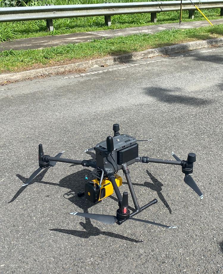
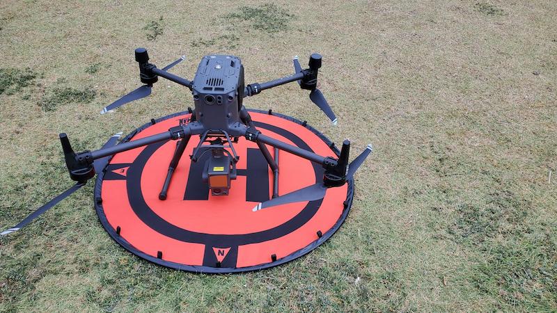
We have many subcontractors with mapping capabilities that we frequently employ, and have a professional relationship going back years with our current team. With the experience we have managing aerial projects, we will pick and manage the best team for your project. We have relationships with contractors that can provide any type of mapping from LIDAR to LAMP to high accuracy digital terrain modeling.
 |
|