

Puerto Rico

Us Virgin islands

Florida USA
MFORCE Surveying strives to provide the community with the highest quality service and product by pushing to exceed expectations from our clients, community and our professional society on the levels of honesty, fairness and timeliness.
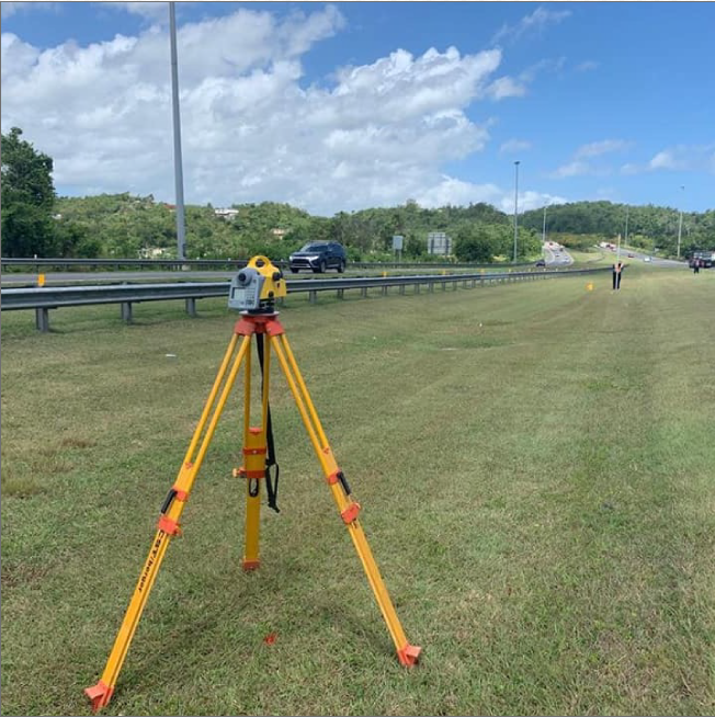
Our goal at MFORCE Surveying is to provide top-quality Professional Land Surveying, 3D Scanning, BIM and Aerial Mapping services, develop a long-lasting relationship with our customers, adapt to the changing needs of our clients and continually exceed our clients’ expectations while contributing back to the community.
As residential, commercial and industrial land surveying service providers, we focus on your satisfaction. This is often demonstrated by the fact that 80% of our business is from referral or repeat clients.

MFORCE really believes that serving multiple market sectors will position us to experience steady growth over the long term.
MFORCE believes that value learning and investing in their employees’ education are simply smarter.
Land surveying is a foundation for many other services, including GIS, building information modeling (BIM), engineering and spatial data management. The ability to view professional expertise from different angles and recognize opportunities outside of a traditional business model is invaluable.
Successful firms understand their strengths, recognize their limitations, and actively build a network of trusted teaming partners to bridge any gaps. Relationships both with clients and with other professionals are key.
Owning the newest laser scanner or mobile mapping system isn’t imperative to being profitable. However, firms that understand the technology trends and adapt to them in a way that makes sense for their firm and their clients will always have a competitive advantage. Having a well-trained, knowledgeable staff with access to the best tools for the job is a surefire strategy for success.


When I look back and think that our team has been together in the land surveying business since 2004 it humbles me and at the same time makes me very proud to have such a great group of Surveyors, 3D Technology Specialists, and high quality detailed map makers. We have gone from working for a few clients in Puerto Rico to working with some of the largest and most productive firms in the US. What a journey it has been.
Today we are able to collect, high quality detailed geodetic data and send it to our clients and technicians for review and processing in a short period of time. I remember our first total station and our first GPS unit. We started working with Laser Scanners in 2013. Since then we have used this technology in Puerto Rico, US Virgin Island and US East Coast. We started working for Engineers, Architects, and Developers.
We still work with that same group but we have added Subterranean Contractors, Structural Engineers, Forensic Specialists, Transportation Engineers, Archaeologists, Global Manufacturing, Law Enforcement and Legal experts. Everyday I see data developed that produce deliverables that were one time unimaginable.
Now we are starting to use drone technology to produce in minutes what use to take days. We know that one tool will not do it all. We understand that we cannot and do not need to own every piece of equipment but we team with high quality groups that can enable us to produce services and deliverables that would have been considered impossible and unheard of just a few years ago.
MFORCE Survey secret is the quality of people... Great smart people work in our firm. Everyone can buy technology. Everyone can use the technology but not everyone can understand what the client needs and pick the right tools and produce something that perfectly meets their need which may or may not have ever been done before.
Thank you,
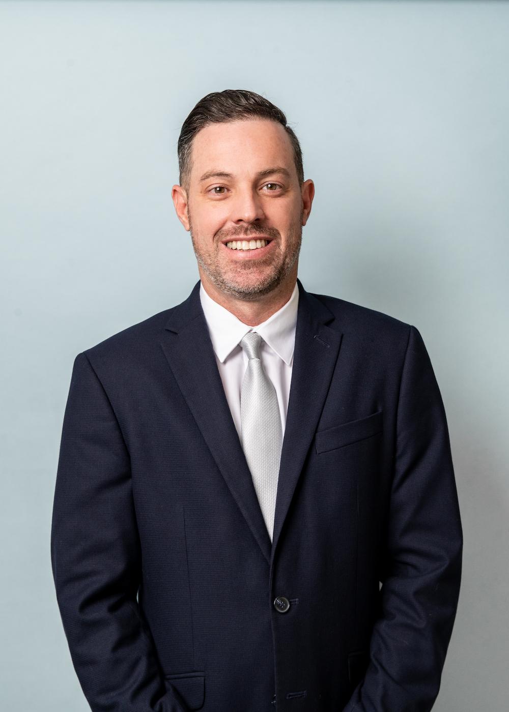
Carlos Fournier
President MFORCE Surveying